
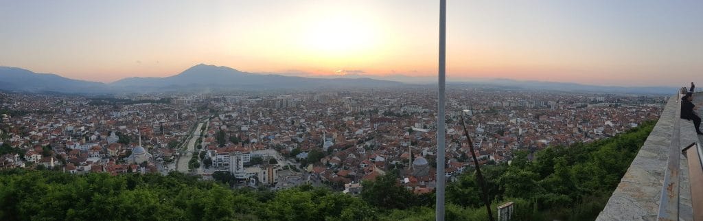
Now that registration is open for this year’s “Kortdage” conference in Odense, it seems appropriate to share a little report on my trip to FOSS4G 2023 in Prizren, Kosovo.
For those who don’t know what FOSS4G is: it stands for Free and Open Source Software for Geospatial. It’s a conference about open-source GIS software, where the first half is practical courses, and the remainder is a whole lot of presentations.
I attended the conference together with my colleague Henrik Hedelund from Ishøj Municipality.
The first two days were reserved for courses, taught by the developers behind the various open-source projects. I received instruction in a broad array of topics:
- How to use a hosted Postgres database on the Aiden platform to collaborate in QGIS.
- Conducting GIS analyses in Python with Jupyter Notebooks.
- Setting up an open-source WebGIS system from Geolytics, which, among other users, the LEGO group uses.
- Publishing data using the “new” WebGIS standard OGC API with pygeoapi.
- Real-time GIS analyses with the Elastic platform.
The number of Danes at this year’s conference was limited, and I believe many perhaps skipped FOSS4G this year because of the location. Kosovo is not recognized as a country by the UN, and there were conflicts in the northern part of the country before the conference. But when it rained on the first evening and we took shelter under a parasol, it turned out the family standing under it with us were also from Denmark. So the world is small.
Kosovo also delivered the perfect open-source vibe, as for example on the toilets there were no two door-handles, doors, toilets, toilet-seats that were the same. But they used what was available to convert the old German military barracks into an educational facility.
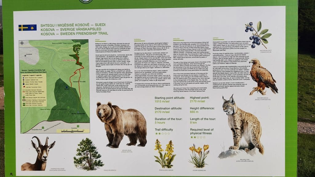
We flew there via Munich and landed in Pristina, where we had rented a car. After an hour’s drive we arrived in Prizren. It was great to have the freedom of a rental car, so the evenings were spent on cool drives up into the mountains or at a wine tasting. And the country is definitely somewhere I would choose for future hiking trips.
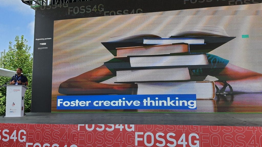
There were many presentations, so I’ll mention some that made an impression on me:
- QGIS.org chairman Marco Bernasocchi gave insight into the journey QGIS has travelled over the last 20 years, since it was just a simple viewer of data in a Postgres database.
- GDAL now supports SeekOptimized zipped GeoPackage files (sozip) so the gpkg format can be zipped to ~30% of the size without any significant performance drop.
- GeoStyler is a tool to convert between the far too many different style-configurations used by various GIS programmes.
- Francesca Dragut from Qualitic gave an in-depth presentation of using Neo4j for graph-based geo-intelligence to group connected companies.
- TerraDraw tries to create a drawing-tool that can be used across the many different JavaScript libraries for dynamic maps in a browser.
- The OGC Styles & Symbology specification by Jérôme is an explanation of a common conceptual framework to describe the visual presentation of geodata.
- Felt.com was presented by Michal Migurski, which tries to make map-visualisations accessible to everyone via a simple web solution. Felt.com is also the first flagship sponsor of QGIS.
- GeoNetwork is getting a new UI, so it’s becoming a bit more refined to write metadata.
- And yes — Kurt Mencke from Denmark also gave a “feature-frenzy” presentation of the new things in QGIS.
These presentations are gradually being posted on YouTube (the first 200 are already up) so you can keep up.
The conference culminated in a gala evening where the band Gipsy Groove performed “Romani” versions of well-known songs — super fun band. And of course it ended with a trip into town and sampling the local micro-breweries’ beer.
All in all, I hope I’ll be able to attend again sometime. Nowhere else do you have the opportunity to ask into the details of the open-source programmes I use every day and discuss how my quotidian GIS work can become easier and more effective.
